


Drying Height
The charted height of a feature above chart datum when that feature covers and uncovers with the tide.
Drying heights are used for rocks, banks and areas that are above chart datum but submerged when the tide rises sufficiently. They are normally printed differently from soundings so the navigator can distinguish a height above datum from a depth below it.
If the predicted height of tide exceeds the drying height, their difference gives an initial estimate of water over the feature; if it is smaller, the feature remains exposed by the difference. Chart datum is not universally Lowest Astronomical Tide, and surge, waves, pressure and prediction error must be allowed for.
Do you know your Tidal Height terms?
Try our quick test tidal height terminology game. Match the tidal height terminology to the appropriate space on this cross-section diagram.
Use our handy crib sheets to work out you tide height conundrums
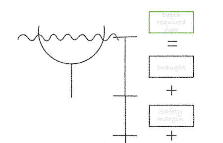
Height of tide needed to clear a charted depth
Height of tide needed to clear a drying height


