

Tidal Curve – Victoria
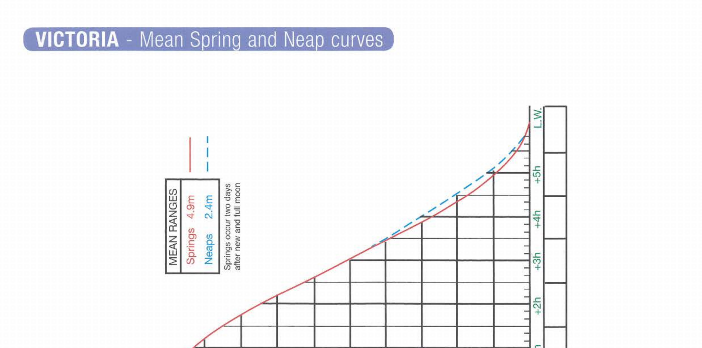
Extract from the RYA Training Almanac, the tidal curve for Victoria can be printed out for use when doing the Essential Navigation & Seamanship Course, Day Skipper Theory Course, YachtMaster / Coastal Skipper Theory Course.

All our courses are engaging, interactive and fun! Whether formal training or simply looking to brush up, we take online learning to the next level.
 Sailing EssentialsFreeA free course great for anyone who spends time on the water.
 Essential Navigation & SeamanshipRYA course for beginners. Learn charts, tides, pilotage, and core seamanship with simple practice tasks.
 Day Skipper TheoryMost PopularRYA course for inshore skippers. Plan day passages using chartwork, tides, weather, and COLREGs.
 Coastal Skipper / Yachtmaster® TheoryComing SoonRYA course for advanced navigation and passage planning, secondary ports, tidal streams, and offshore weather.
 SRC (VHF) Marine Radio CourseRYA Short Range Certificate radio course. Study online, then take the practical exam with an RYA assessor.
Are you looking for something nautical related? Our directory is an extensive list of courses and places associated with the marine industry. Hop over and search now.
We believe every day’s a school day on a boat! That’s why we built Nautical Know-How, dedicated to answering your questions. Even better, if it can’t answer your question immediately, you can request it, and we’ll add it to our knowledge base.
 Nautical Terms & TerminologyUnderstanding the language of the marine world is like trying to learn a pirate’s secret code while juggling fish. Let us explain why a sheet isn’t for your bed, why “heave ho” doesn’t mean throw up (most of the time), and why “dead reckoning” is surprisingly less ominous than it sounds.
 Why do we have tides?Have you ever wondered what causes the tides? Check out this video, which introduces the forces that create the tides we experience on Earth.
 What causes our weather?A video introducing the drivers behind our weather, part of our RYA Day Skipper & RYA Coastal Skipper / Yachtmaster® Offshore theory courses.
 Buoyage FlashcardsFlashcards designed to help remember the buoys in the IALA system. If you want to learn them in detail, our module ‘Getting in and out of harbour‘, covers the IALA system and different buoys used.
 Interactive Rule Book (COLREGs / IRPCS)Whether you’re a novice sailor or a seasoned skipper, we can help you navigate the IRPCS confidently and clearly. Our easy-to-use, easy-to-understand, plain English rule book with helpful interpretations of what each rule means.
 The Salty Sea BlogFrom salty old sea dogs to fresh-faced deckhands, this blog is for anyone who finds peace, adventure, and a bit of mischief on the water. So hoist the main, set your course, and let’s sail into the stories, lessons, and musings that make life on the sea so irresistible.
Downloads for the Tidal Heights module in the RYA Day Skipper course.
Tide tables, curve worksheets, and secondary port guides—all designed to help you work out how much water is really beneath your keel. Perfect practice for avoiding accidental grounding.
Extract from the RYA Training Almanac, the tidal curve for Victoria can be printed out for use when doing the Essential Navigation & Seamanship Course, Day Skipper Theory Course, YachtMaster / Coastal Skipper Theory Course.
PDF · 1 file · 131.26 KB
Updated 4 July 2025 · 423 downloads
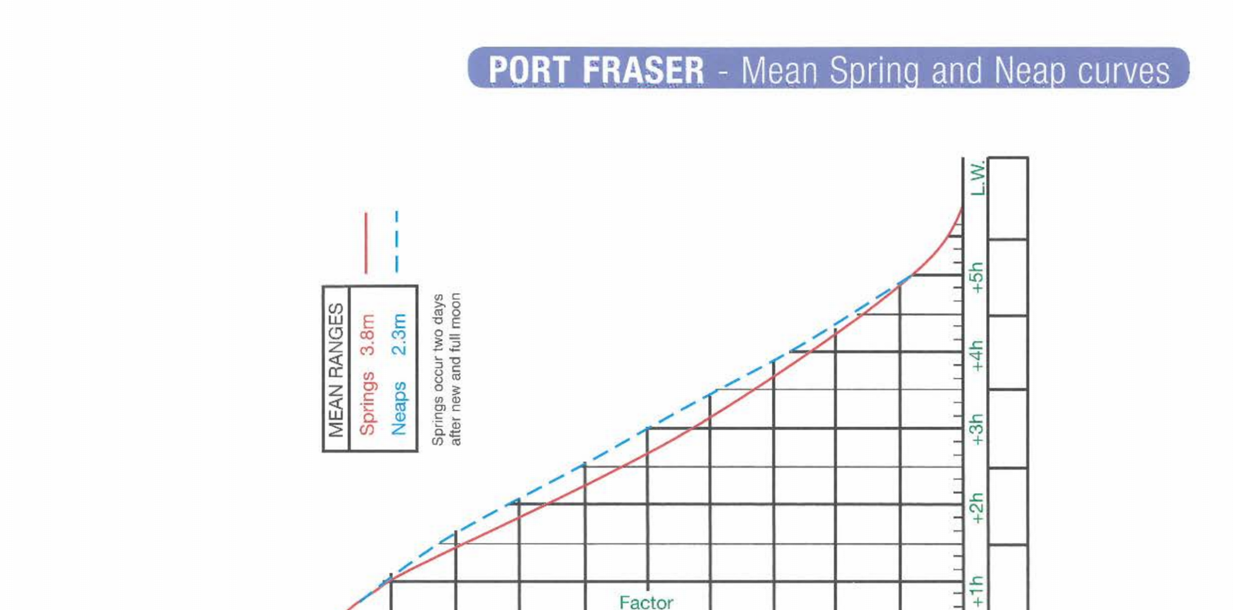
Extract from the RYA Training Almanac, the tidal curve for Port Fraser can be printed out for use when doing the Essential Navigation & Seamanship Course, Day Skipper Theory Course, YachtMaster / Coastal Skipper Theory Course.
PDF · 1 file · 129.46 KB
Updated 4 July 2025 · 348 downloads
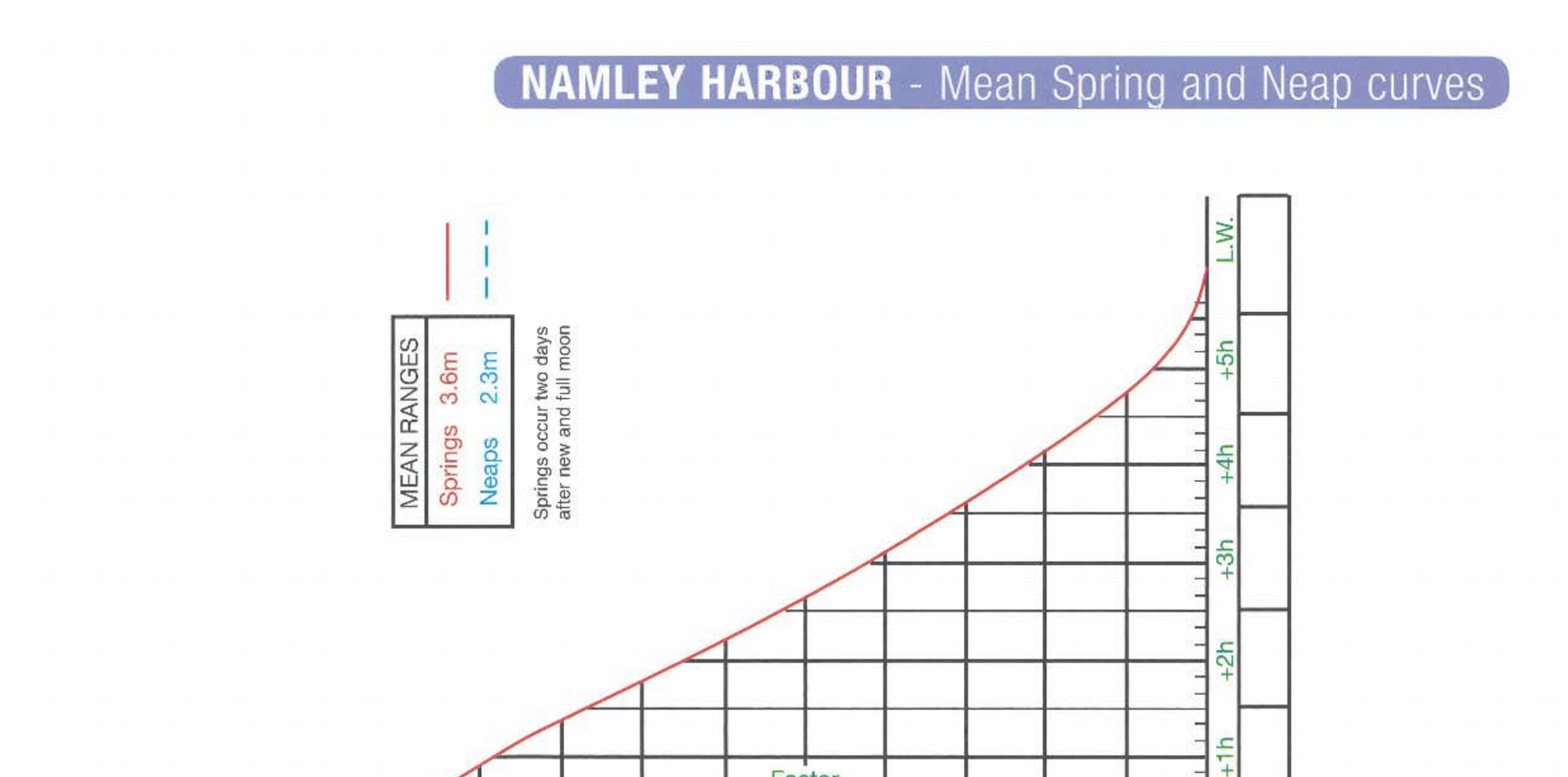
Extract from the RYA Training Almanac, the tidal curve for Namley Harbour can be printed out for use when doing the Essential Navigation & Seamanship Course, Day Skipper Theory Course, YachtMaster / Coastal Skipper Theory Course.
PDF · 1 file · 123.50 KB
Updated 4 July 2025 · 435 downloads
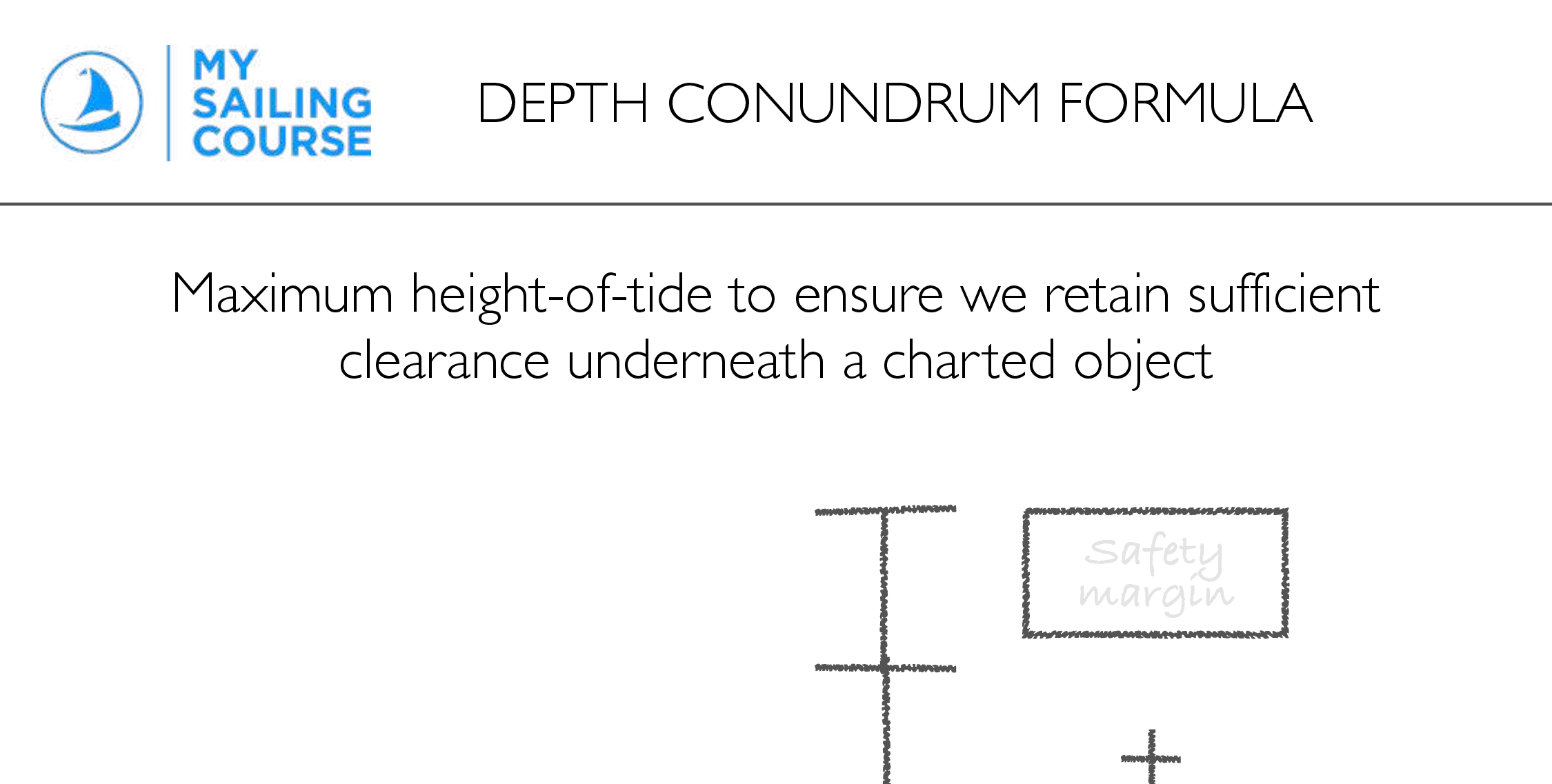
Worksheet to help calculate the maximum height-of-tide while retaining clearance underneath a charted object. This supports the Solving Depth Conundrums topic in the How much water? Module of the Day Skipper theory course.
PDF · 1 file · 266.86 KB
Updated 4 July 2025 · 320 downloads
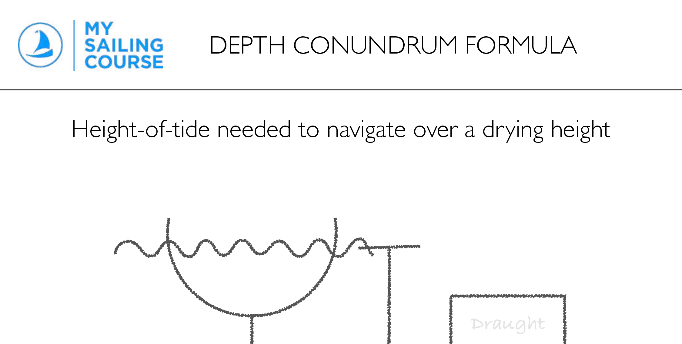
Worksheet to help calculate the height-of-tide required to clear a charted drying height. This supports the Solving Depth Conundrums topic in the How much water? Module of the Day Skipper theory course.
PDF · 1 file · 209.88 KB
Updated 4 July 2025 · 3,742 downloads
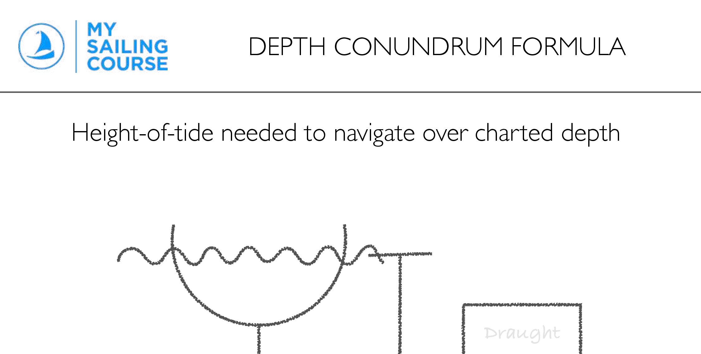
Worksheet to help calculate the height of tide required to clear a charted depth. This supports the Solving Depth Conundrums topic in the How much water? Module of the Day Skipper theory course.
PDF · 1 file · 208.86 KB
Updated 8 July 2025 · 484 downloads
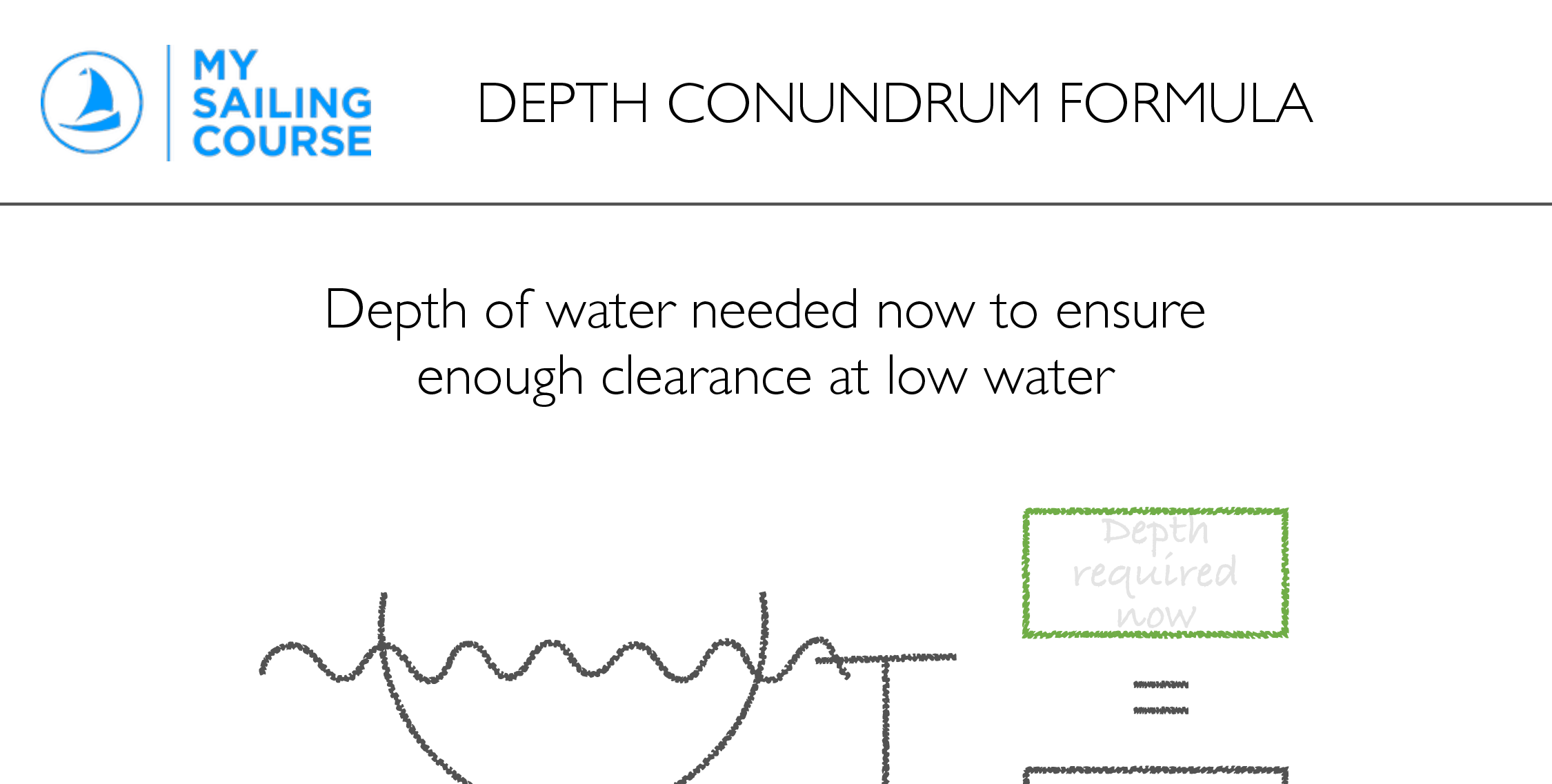
Worksheet to help calculate the depth we need now to retain enough clearance at low water. This supports the Solving Depth Conundrums topic in the How much water? module of the Day Skipper Theory course.
PDF · 1 file · 273.57 KB
Updated 4 July 2025 · 328 downloads
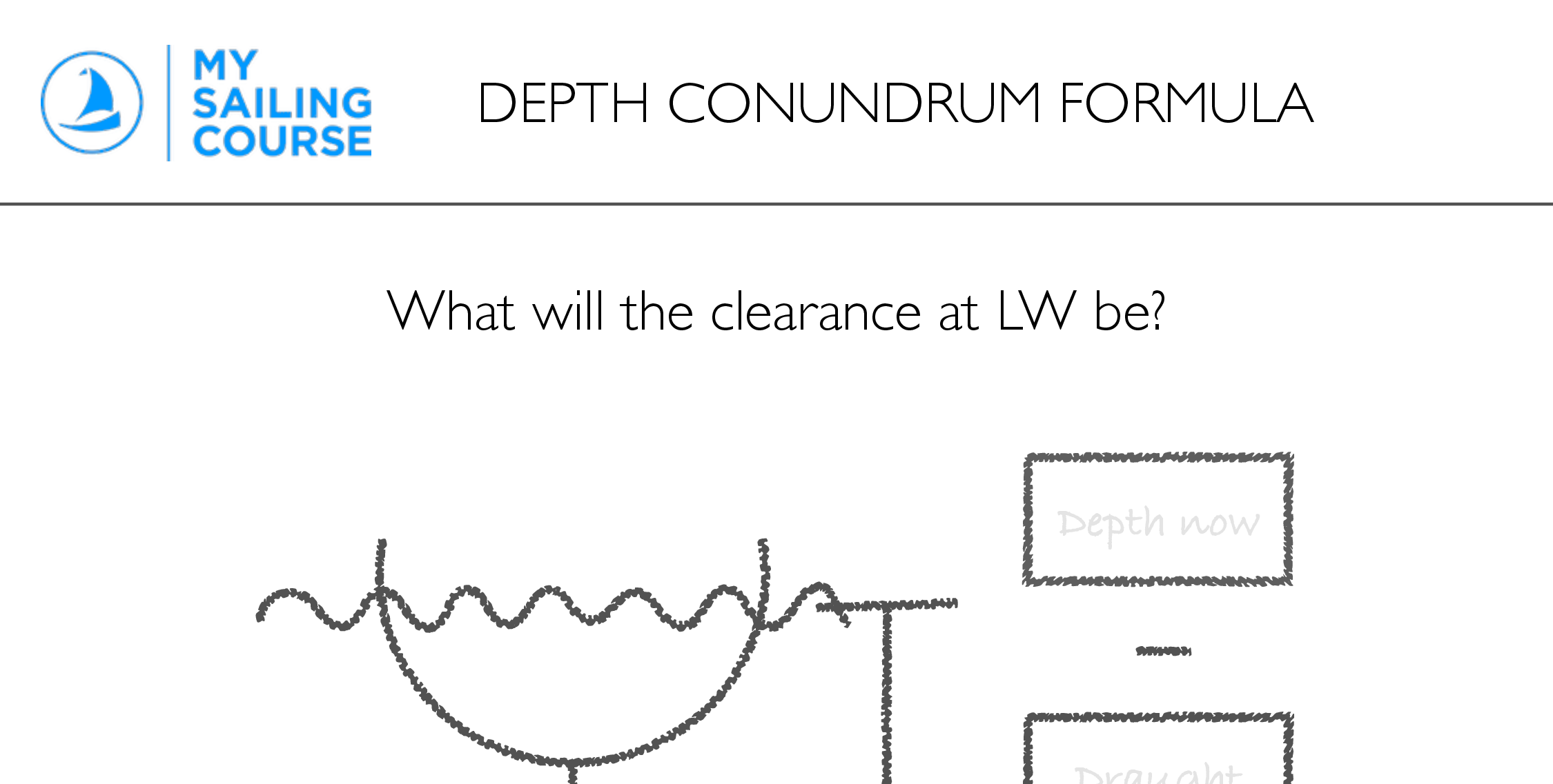
Worksheet to help calculate how much clearance there will be at low water. This supports the Solving depth conundrums topic in the How much water? module of the Day Skipper theory course.
PDF · 1 file · 219.09 KB
Updated 4 July 2025 · 398 downloads

Our 1% commitment
My Sailing Course contributes 1% of every Stripe payment to help promising carbon removal technologies move from the lab into the field.
Stripe Climate commitments fund the development and purchase of carbon removal. They are not carbon offsets or credits attached to an individual order.

Welcome to My Sailing Course. Where's this adventure going to take you?

Ahoy there, Visiting Sailor! Ask us anything—whether you need help choosing a course, have a sailing question, or want to speak to the crew.
Scan with your phone to open the My Sailing Course WhatsApp service. You can review or edit the prepared message before sending it.
Your conversation stays with My Sailing Course so our Support team can respond securely.
Enter at least two characters to explore.
Welcome back aboard. Sign in with the email address connected to your My Sailing Course account.
Your account details are encrypted in transit and your password is never displayed or stored by this form. By continuing, you agree to our Terms & Conditions and acknowledge our Privacy Policy.
Join free to save your favourites, unlock bonus learning resources and keep everything nautical close at hand.
Join the My Sailing Course community with one secure account for your courses, profile and support.
We've successfully created your account. Hold station for a few moments and you will be returned to the page.
Already have an account? Sign in
Enter your account email and we will send you a secure reset link.
This reset link is invalid or has expired.
Your new password is saved securely. We are confirming it across My Sailing Course before you sign in.
Please keep this window open. It will change to the sign-in form as soon as every service confirms the update.