Chart
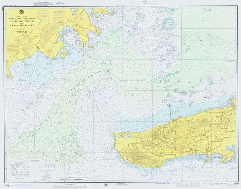
A detailed map used in marine navigation, showing water depths, hazards, and other critical information for safe passage.

A marine chart is an essential tool for navigators, providing a graphical representation of a specific body of water and its surrounding features. Unlike a general map, a chart is designed specifically for maritime use and includes a wealth of information crucial for safe navigation. This includes details such as water depths (often indicated by contour lines and soundings), underwater hazards like rocks or wrecks, navigational aids such as buoys and lighthouses, tidal information, and the location of harbours and anchorages. Charts are typically produced by national hydrographic offices and are updated regularly to reflect changes in the marine environment, such as shifting sandbanks or new construction.
There are different types of marine charts, including coastal charts, harbour charts, and oceanic charts, each tailored to specific navigational needs. Coastal charts are used for navigating near shorelines, while oceanic charts are designed for long-distance, open-sea voyages. Modern charts can be either paper-based or digital, with electronic charts becoming increasingly popular due to their ability to integrate with GPS and other navigational systems. However, traditional paper charts are still widely used as a reliable backup in case of electronic failure.

