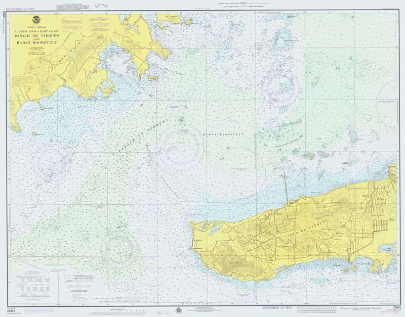
Nautical Chart
An official or purpose-produced representation of navigable waters and adjoining areas for marine navigation.
A nautical chart can show depths, drying heights, coastline, dangers, aids to navigation, routes, limits, seabed information and notes relevant to passage planning. Scale, projection, horizontal datum, vertical datum and the edition or update status determine how its information must be interpreted.
Charts may be paper or electronic. An official Electronic Navigational Chart is a structured dataset for an approved display system and is not the same as any digital image or commercial chart layer; all chart types require suitable corrections and must be used with current notices and publications.