


Inshore Waters Forecast – Sea Areas

Inshore waters and strong wind forecast for coastal waters up to 12 miles offshore. Forecasts for UK inshore waters are issued four times a day and cover a period of 24 hours from 0000, 0600, 1200 and 1800 UTC.
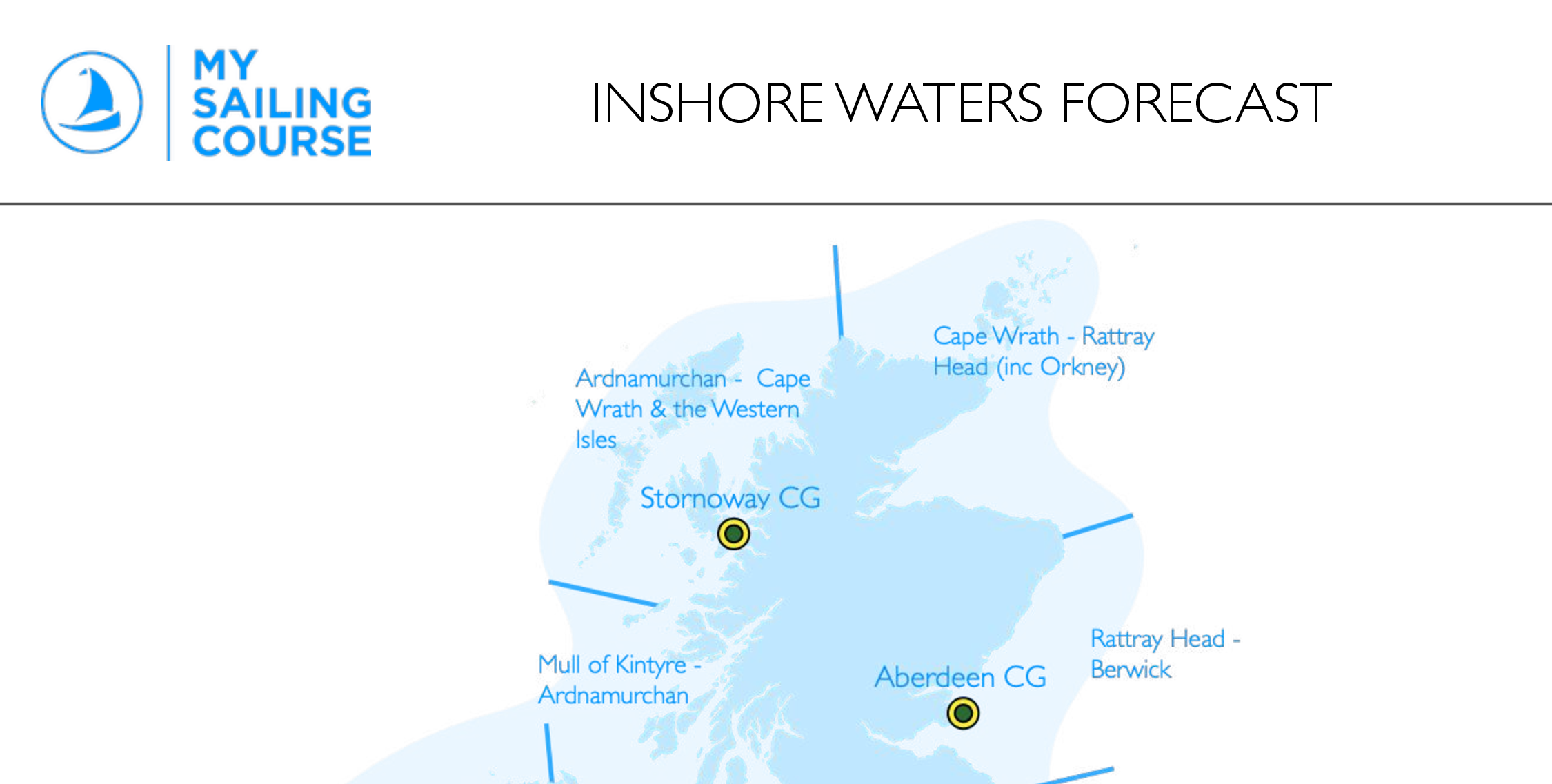
The coastal waters around the British Isles, up to 12 miles offshore, are divided into 19 areas shown on the map. The forecast contains details of forecast wind direction and force, weather, visibility, and sea state.
Numerous sources exist; however, the inshore forecast is broadcast locally over Marine VHF. The local aerial is announced on Channel 16 (e.g., Channel 86 Newhaven, Needles, Beer Head) and can also be found in the Almanac.
Document Preview
Login or Join Now to preview this download
Membership gives you access to our library of downloads—including crib sheets, checklists, plotting guides, and more. Course resources remain subject to enrolment.
Limited preview — verify your email to download the complete resource. Full previews require sign-in and the relevant access.
- File Type
- Categories
- Date Created
- Last Updated
- Times Downloaded
- File Size