-
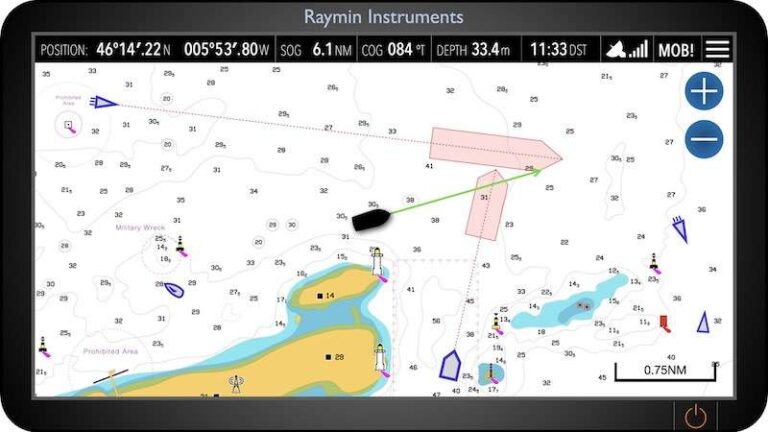
Chart plotters have revolutionised how we navigate, making real-time position tracking, route planning, and decision-making more accessible than ever. Central to this technology are waypoints—specific geographic points you plot on your electronic chart. By linking waypoints together, you can plan a passage and monitor your performance using data like Bearing to Waypoint (BTW), Distance to Waypoint (DTW), and Cross…
-
We’ve compared the best Online RYA Day Skipper Theory Course Providers Updated for 2026. Are you ready to take the helm? If you’re planning to skipper your own yacht or want to gain confidence with coastal navigation, an RYA Day Skipper Theory course is an essential step. We’ve checked course pricing, syllabus format, access options,…
-
From Overwhelmed to In Control – Stress-Free Passage Planning with APEM If you’re new to navigation and planning your first cross-Channel trip, the process can feel overwhelming. That’s where the acronym APEM comes in—Appraise, Plan, Execute, Monitor. These four steps help ensure your passage is safe, legal, and enjoyable. Let’s walk through each stage, using…
-
Thinking of a family sailing holiday in Greece? Here’s why the Ionian is perfect for beginners—and how to get qualified in time for summer. 🌴 Why the Ionian Is Perfect for First-Time Sailors 🛥️ Do You Need a License to Charter a Boat in Greece? Yes—but it’s simpler than you might think. To charter a…
-
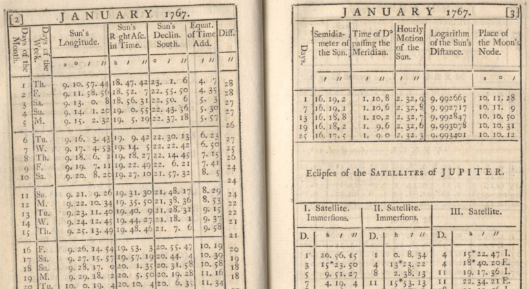
Stars, sextants, and the Nautical Almanac used to keep sailors alive. Now your phone does the sums in seconds. The questions have not changed. The risk has.
If you look hard enough, you’ll find a forecast that suits your plan. The skipper skill is confidence. Check the source, check the timestamp, cross-check, then decide for a reason.
-
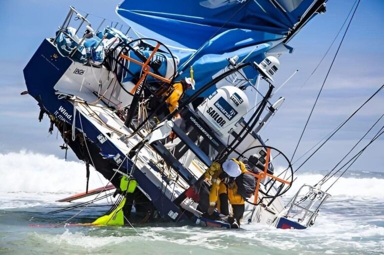
Why Verification is so Important in Marine Navigation For recreational sailors, whether seasoned skippers or weekend adventurers, the thrill of exploring the open waters comes with the responsibility of navigating safely and efficiently. While modern technology, such as GPS and electronic chart plotters, has made marine navigation more accessible and convenient than ever, relying solely…
-
The Enduring Value of Paper Charts in the Digital Age In today’s digital world, electronic nautical charts (ENCs) have become the norm for maritime navigation. With their real-time positioning, easy updates, and user-friendly interfaces, it’s easy to see why many mariners have shifted to digital solutions. As a racing skipper, I’m a huge fan of…
-
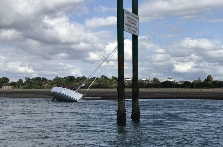
Are charted depths based on the worst-case scenario? Traditional and electronic navigation charts (ENCs) provide us with an understanding of depth, particularly near the coastline. Generally, we ask ourselves: Can we float? After all, we don’t want to run aground! The numbers provided on charts give a likely worst-case scenario, known as chart datum. For…
-
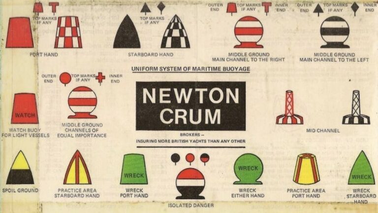
Introduction Navigational aids have been crucial for maritime safety for centuries, but you may be surprised to learn that the standardisation of the buoyage system didn’t materialise until the 1980s. Among the various systems developed, the International Association of Marine Aids to Navigation and Lighthouse Authorities (IALA) buoyage system stands out for its global adoption…
-
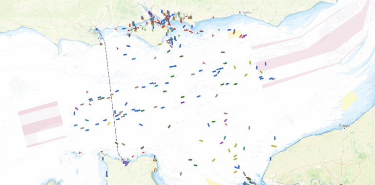
The Pros and Cons of Marine AIS for Recreational Mariners Safety and navigation are paramount concerns for recreational mariners. The adoption of Marine Automatic Identification System (AIS) technology has significantly changed the boating experience, offering benefits and posing challenges. In this article, we will explore the pros and cons of AIS for recreational mariners and…
If you belive the Earth is flat, you're about to fall of the end...
If you belive the Earth is flat, you're about to fall of the end...